Expert Team
Seasoned professionals with deep industry knowledge.
Tailored Solutions
Customized services to meet your unique needs.
Innovative Tools
Leveraging the latest in GIS and Remote Sensing technology.

Seasoned professionals with deep industry knowledge.
Customized services to meet your unique needs.
Leveraging the latest in GIS and Remote Sensing technology.
Expert guidance for GIS strategy, data collection, and system integration
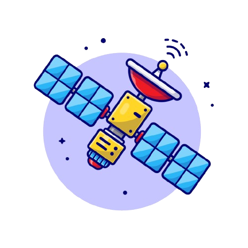
Satellite and aerial imagery processing for land use, crop health, and disaster monitoring.
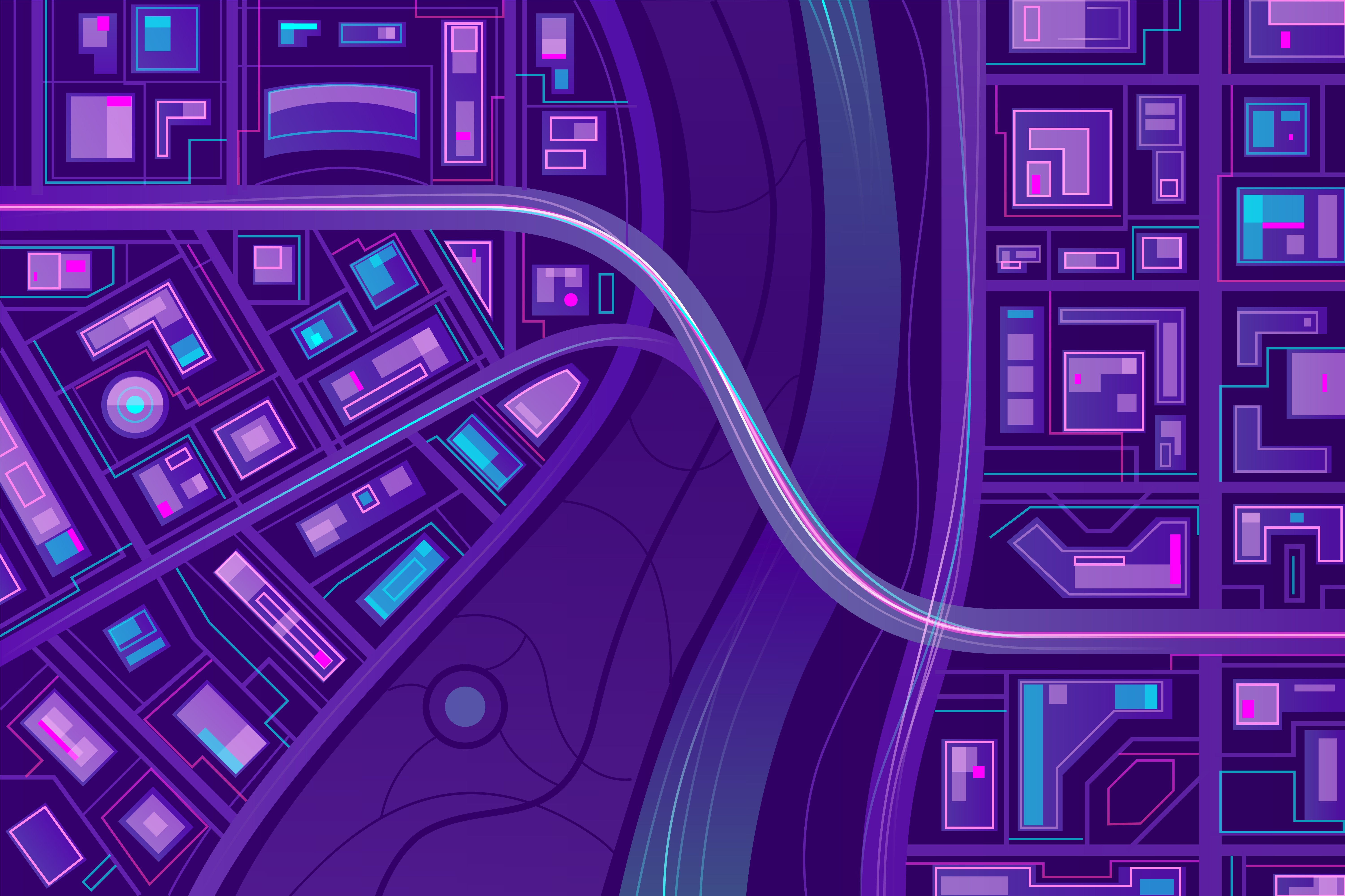
Visually engaging web maps for data visualization and public engagement.
Unlock insights from geographic data through advanced analysis, visualization, and decision-making solutions
Uncover patterns and trends to inform your strategies.
Predictive analysis for agriculture, forestry, and environmental monitoring.